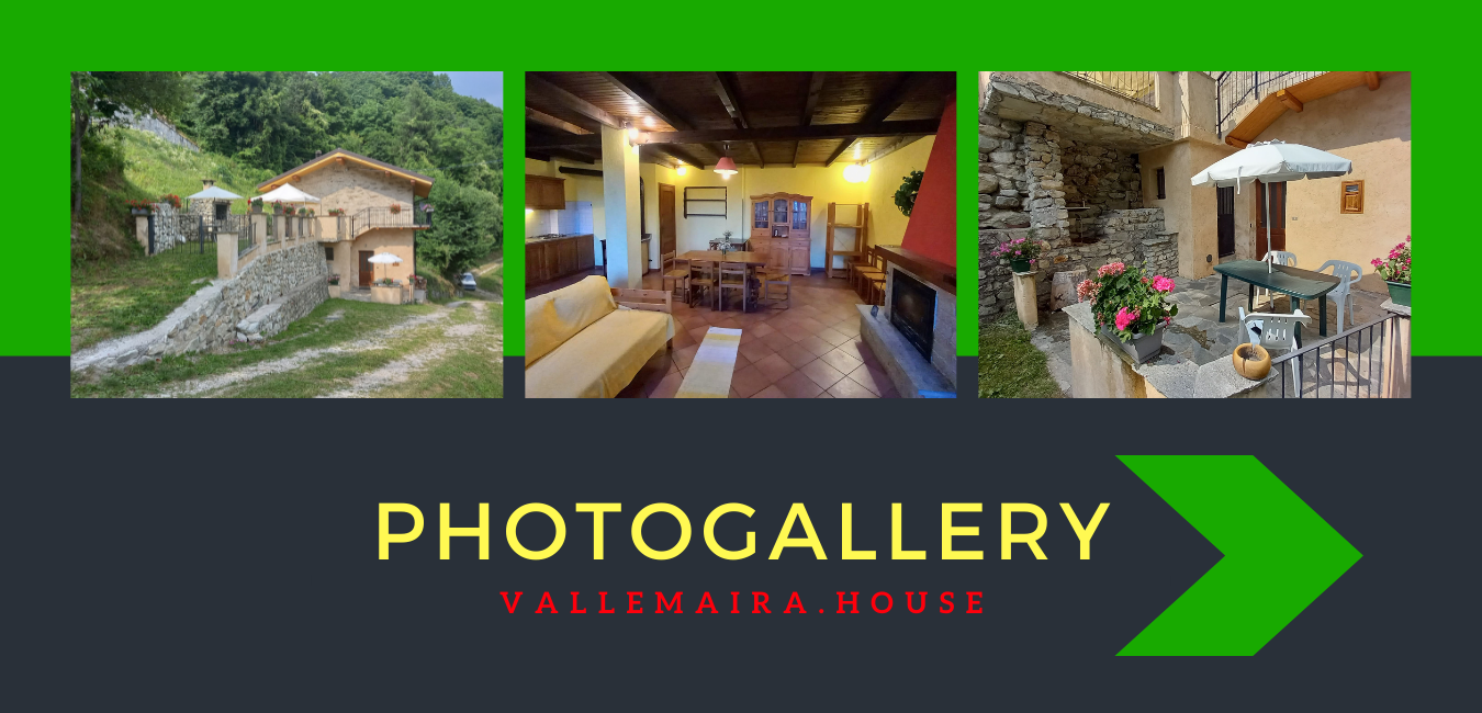
Gran Baita
Indication to reach Gran Baita
Use this map and download the way with the various formats available to easily reach the destination by following the most advantageous way. Be aware that many browsers including GoogleMaps recommend an unsuitable route!
For more info:  +39.3293335962 or remo.ferrero@gmail.com
Where we are?
- Rise: 392 metri circa
- Distance: 5,72 km circa
- Elevation at start: 748 metri
- Elevation at finish: 1.120 metri
- Start indications: Centro, San Damiano Macra
- Finish: Gran Baita, San Damiano Macra
- Geographic coordinates: lat="44.51269000" lon="7.237830000"
WARNING: Follow the path of the map markedly, is the best way!
Info
Great for holidays, Gran Baita offers a large living room (50 square meters) with a kitchen area, two large bedrooms, two bathrooms, one with a shower.
It is also equipped with wood heating, fireplace, stove, gas stove and boiler for sanitary water.
Being located in a very quiet area it's the ideal place to relax and enjoy a rest.
For the sportiest one, the house remains close to pagliero on P.O. (Occitan Route) at the foot of the Colle Birrone (With connections to paths and unpaved tracks at STRADA DEI CANNONI), ideal for trekking, mountain biking and horseback riding.


